

Love in Disguise Filming Locations: Hongdae Travel Guide
Many of the filming locations for the drama Love in Disguise (나의 유죄인간) are clustered around Hongdae and Yeonnam-dong, two of Seoul’s most walkable neighborhoods. Cafés, a former railway line turned into a park, and lively streets sit close together, so you can cover them in a single day. Add Peace Park in the World Cup Park area and the quiet Gamgodang-gil street in Anguk, and you have a well-rounded Seoul itinerary. The Quiznos in Pangyo is an optional extra if you have time.
Table of Contents
At a Glance
| Place | Area | Nearest station | Best time |
|---|---|---|---|
| Peace Park | Sangam-dong, Mapo-gu (World Cup Park) | World Cup Stadium Station (Line 6) | Morning to afternoon |
| Cafe Monoblock | Mapo-gu (Hongdae area) | Hongik Univ. Station, Exit 9, about 6 min walk | Daytime to evening |
| Gyeongui Line Forest Park | Mapo-gu (Yeonnam-dong to Daeheung-dong) | Daeheung Station, Exit 4, about 4 min walk | Afternoon to evening |
| Gamgodang-gil | Anguk-dong, Jongno-gu | Anguk Station (Line 3) | Morning to afternoon |
| Quiznos Pangyo Technovalley | Seongnam, Gyeonggi-do (Pangyo) | Near Pangyo Station (Shinbundang Line) | Lunchtime |
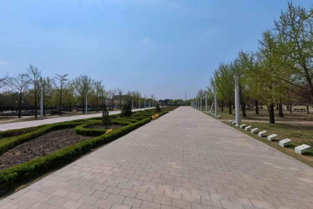
1. Peace Park (Sangam-dong, Mapo-gu)
Peace Park is one of the parks that make up World Cup Park, together with Haneul Park, Noeul Park, and Nanjicheon Park. It feels like a trip out of the city, with wide lawns and a lake that are perfect for a slow walk, especially on a cool autumn afternoon.
- Address: 1535 Sangam-dong, Mapo-gu, Seoul
- How to get there: Take Line 6 to World Cup Stadium Station and walk to the park. Check the exit and walking time in a map app. From Hongik Univ. Station, take Line 2 one stop to Hapjeong, then transfer to Line 6 (3 stops from Hapjeong to World Cup Stadium).
- Nearby: Haneul Park is known for sunset views from its observation deck, and many visitors come in autumn to see the silver grass. World Cup Park is large, so expect a lot of walking and wear comfortable shoes.
- Best time: Morning to early afternoon

2. Cafe Monoblock (Hongdae)
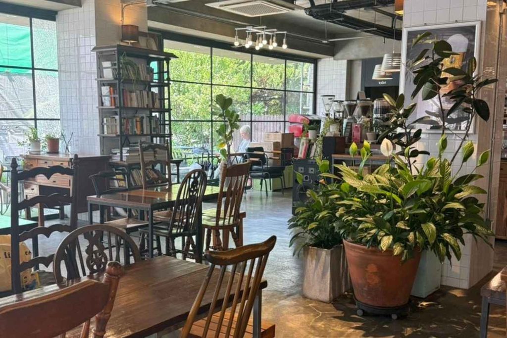
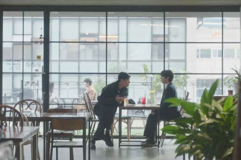
Cafe Monoblock is about a 6-minute walk from Hongik Univ. Station, Exit 9. The Hongdae area is full of independent cafés, which makes it a great area for a coffee break between walks.
- Address: 14, Wausan-ro 23-gil, Mapo-gu, Seoul
- How to get there: Hongik Univ. Station (Line 2, AREX, Gyeongui-Jungang Line), Exit 9, about 6 minutes on foot
- Travel tip: Popular cafés can be crowded or full on weekend afternoons. Weekdays and mornings are easier. Check opening hours and closing days before you go.
3. Gyeongui Line Forest Park (Yeonnam-dong & Daeheung-dong)
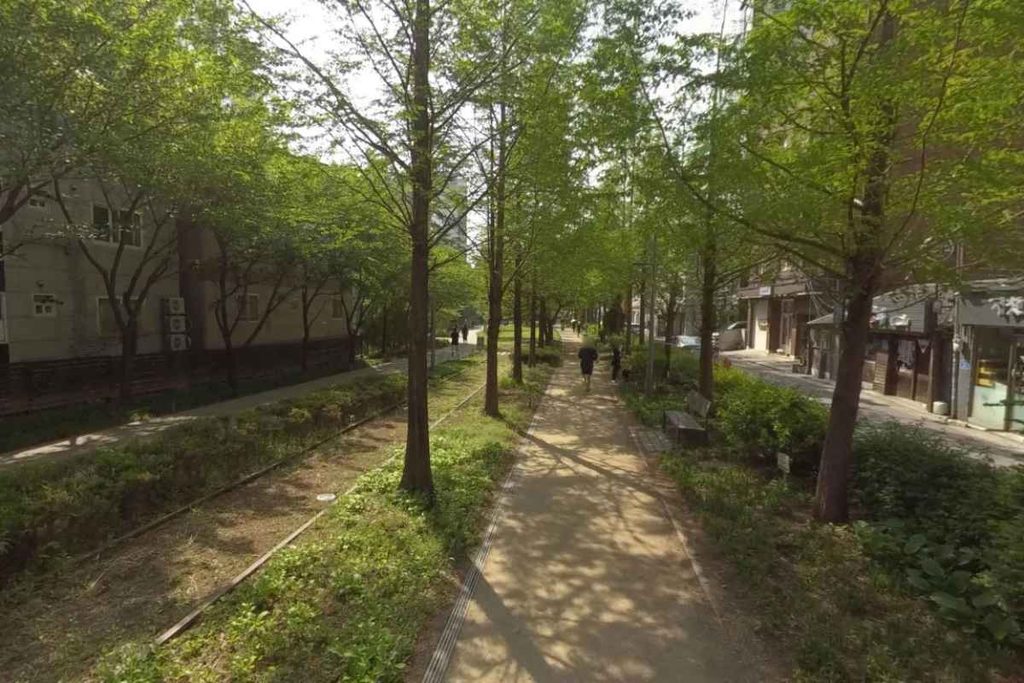
Gyeongui Line Forest Park is a walking trail built on a former railway line. It runs 6.3 km from Yongsan to Gajwa Station through the heart of Mapo-gu, with cafés and shops along the way. The Yeonnam-dong section is especially popular, so it works well for both a stroll and a café stop.
- Address: 16, Gwangseong-ro 6-gil, Mapo-gu, Seoul (Daeheung-dong area)
- How to get there: Daeheung Station (Line 6), Exit 4, about 4 minutes on foot
- How to walk it: Start near Daeheung Station and walk toward Yeonnam-dong, which leads naturally toward Hongdae. If you stop to look around, allow about an hour.
- Travel tip: The park looks different after dark when the lights come on, so it’s lovely for an evening walk too.
- What to see: Near Sogang Univ. Station, part of the old railway track has been preserved, along with bronze sculptures of children playing on the tracks.
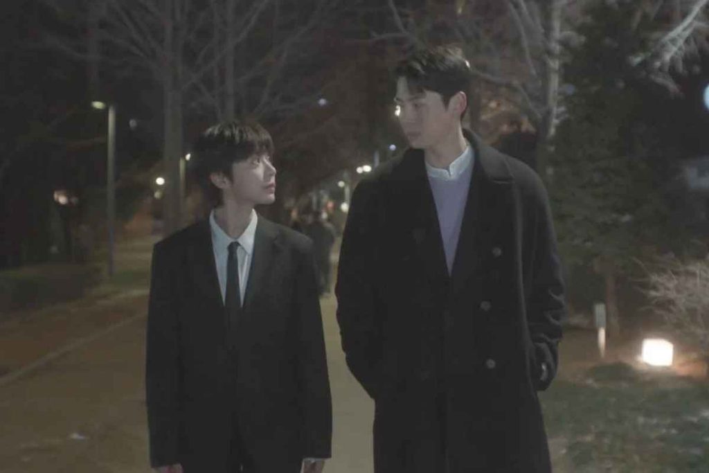
4. Gamgodang-gil (Anguk-dong, Jongno-gu)
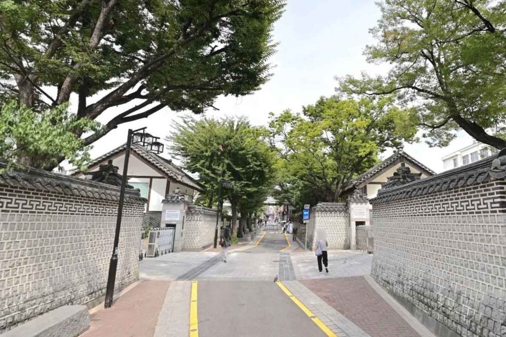
Gamgodang-gil is a quiet street running from Anguk toward Samcheong-dong. It’s named after the historic Gamgodang house that once stood in this area. Even though it’s in the middle of central Seoul, it feels calm, and it pairs well with Bukchon, Samcheong-dong, and Gyeongbokgung Palace.
- Address: 175-91 Anguk-dong, Jongno-gu, Seoul
- How to get there: Take Line 3 to Anguk Station and walk. Check the exit and distance in a map app.
- Nearby: Bukchon Hanok Village, Samcheong-dong street, Gyeongbokgung Palace, Changdeokgung Palace, Insadong
- Best time: Morning to daytime. Bukchon and Samcheong-dong can get crowded on weekends.
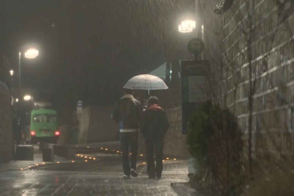
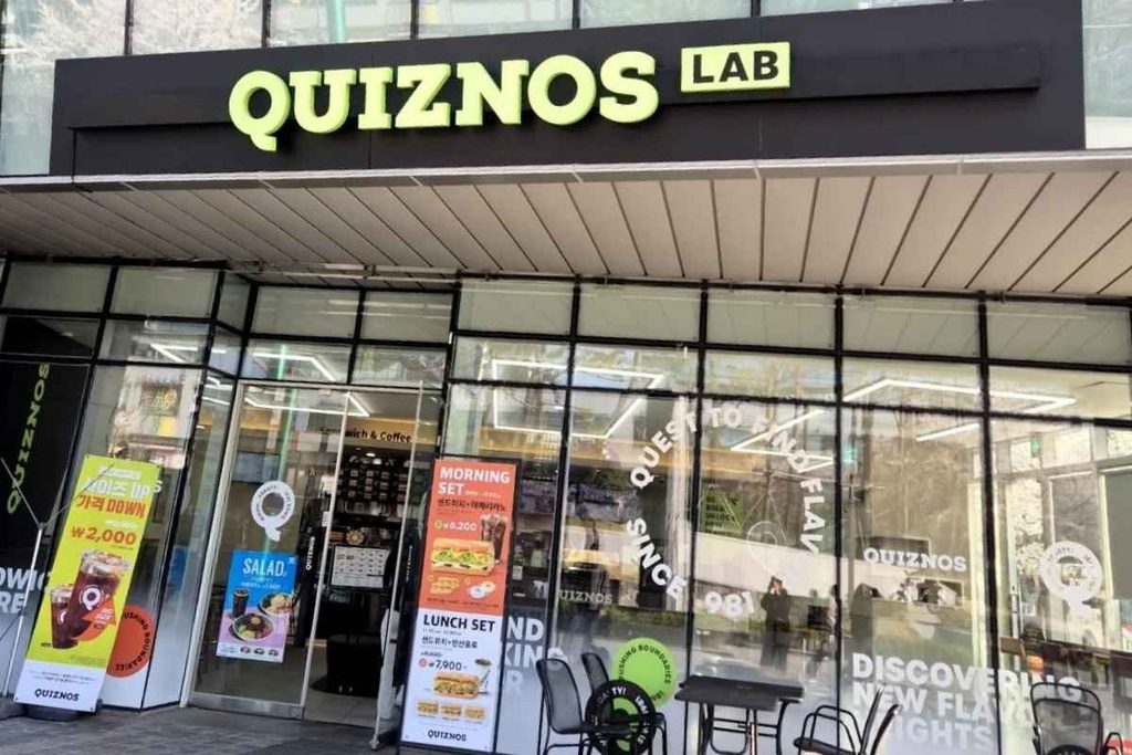
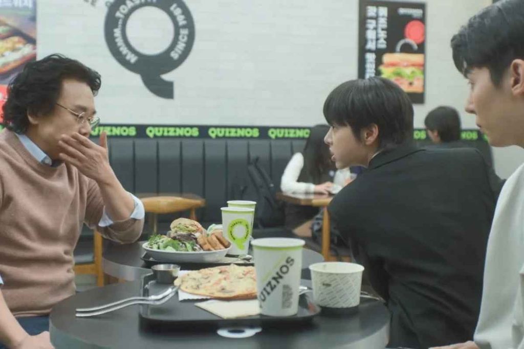
5. Quiznos Pangyo Technovalley Branch (Optional)
Pangyo is a tech hub south of Seoul in Seongnam, Gyeonggi-do. This Quiznos, a toasted sandwich chain, sits in the Pangyo Technovalley office district. It’s in a different area from Hongdae and Yeonnam-dong, so you’ll need to set aside time to get there.
- Address: 660 Daewangpangyo-ro, Bundang-gu, Seongnam-si, Gyeonggi-do
- How to get there: Take the Shinbundang Line to Pangyo Station. From Gangnam Station this is the usual route. From Hongdae, the trip can take around an hour, so check the route and time in a map app.
- Visiting tip: It’s an office district, so it can be crowded around lunchtime on weekdays. Some branches close or shorten hours on weekends, so check before you go.
- Best for: Travelers who already have a Pangyo stop planned, or anyone curious about Korea’s tech business district
Suggested Itineraries
Course A: One day in western Seoul (Hongdae & Yeonnam-dong)
- Morning: Walk around Peace Park (World Cup Stadium Station)
- Lunch: Take Line 6 toward Hongdae and eat in the area
- Afternoon: From Daeheung Station, walk Gyeongui Line Forest Park toward Yeonnam-dong
- Late afternoon: Rest at Cafe Monoblock (Hongik Univ. Station, Exit 9 area)
- Evening: Dinner in Hongdae or Yeonnam-dong, and street performances if you’re lucky
The easiest order is to take Line 6 from World Cup Stadium Station to Daeheung Station (Exit 4), then walk the forest park toward Hongdae.
Course B: Half-day city walk (Anguk)
- Walk Gamgodang-gil from Anguk Station
- Samcheong-dong and Bukchon Hanok Village
- Gyeongbokgung or Changdeokgung Palace
- Lunch or tea in Insadong
Course C: Optional Pangyo trip
Have lunch at Quiznos and look around the Pangyo Technovalley area. The trip takes more than an hour each way, so plan it as a separate outing.
Getting Around
- From the airport to Hongdae: From Incheon Airport, take the AREX all-stop train to Hongik Univ. Station, about an hour. The express train does not stop at Hongik Univ. Station, so choose the all-stop service. From Gimpo Airport, the ride is much shorter.
- Transit card: A T-money or similar transit card makes subway and bus transfers easy. You can buy and top one up at convenience stores and subway stations.
- Map apps: Google Maps directions are not always reliable in Korea. Naver Map or KakaoMap is recommended.
- Station exits: Hongik Univ. Station connects Line 2, AREX, and the Gyeongui-Jungang Line and has many exits, so check your exit number before you leave the station.
Food and Cafés
Hongdae and Yeonnam-dong have a wide mix of Korean, Japanese, and Western restaurants, plus plenty of independent cafés. Along Gyeongui Line Forest Park you’ll find roasteries, dessert shops, and wine bars. Opening hours and break times differ by place, so check in a map app before you go. Many places have no English menu, so a translation app helps.
Weather and What to Wear
- Lots of walking: World Cup Park, the forest park, and Gamgodang-gil all involve walking, so wear comfortable sneakers.
- Temperature swings: In autumn and winter it gets cold quickly after sunset. Bring a jacket if you plan an evening walk.
- Rainy days: On wet days, switch to a café-focused plan.
Tips for Hongdae and Yeonnam-dong
- Weekend crowds: Hongdae is very busy on weekend afternoons and evenings. Weekdays are far easier for photos and café visits.
- Street performances: Busking is common in Hongdae. Enjoy it, but don’t block the walkway.
- Noise: Keep your voice down in Yeonnam-dong and residential streets at night.
- Photos: In cafés and shops, avoid including other customers in your shots. Photo rules vary from place to place.
- Trash: In parks like Gyeongui Line Forest Park, you often need to take your trash with you.
Useful Contacts
- Korea Travel Hotline (multilingual): 1330 (from a Korean phone)
Checklist Before You Go
- Opening hours and closing days for cafés and restaurants
- Weather and sunset time for your travel date
- Subway lines and exit numbers (check in a map app)
- A transit card ready to use
- If you’re going to Pangyo, the travel time and whether the shop is open




 This product uses the TMDB API but is not endorsed or certified by